Work Capability

Water & Energy
Rainwater catchment reservoir engineering design and construction
- Drill wells, WASH, clean water filtration, and purification technology
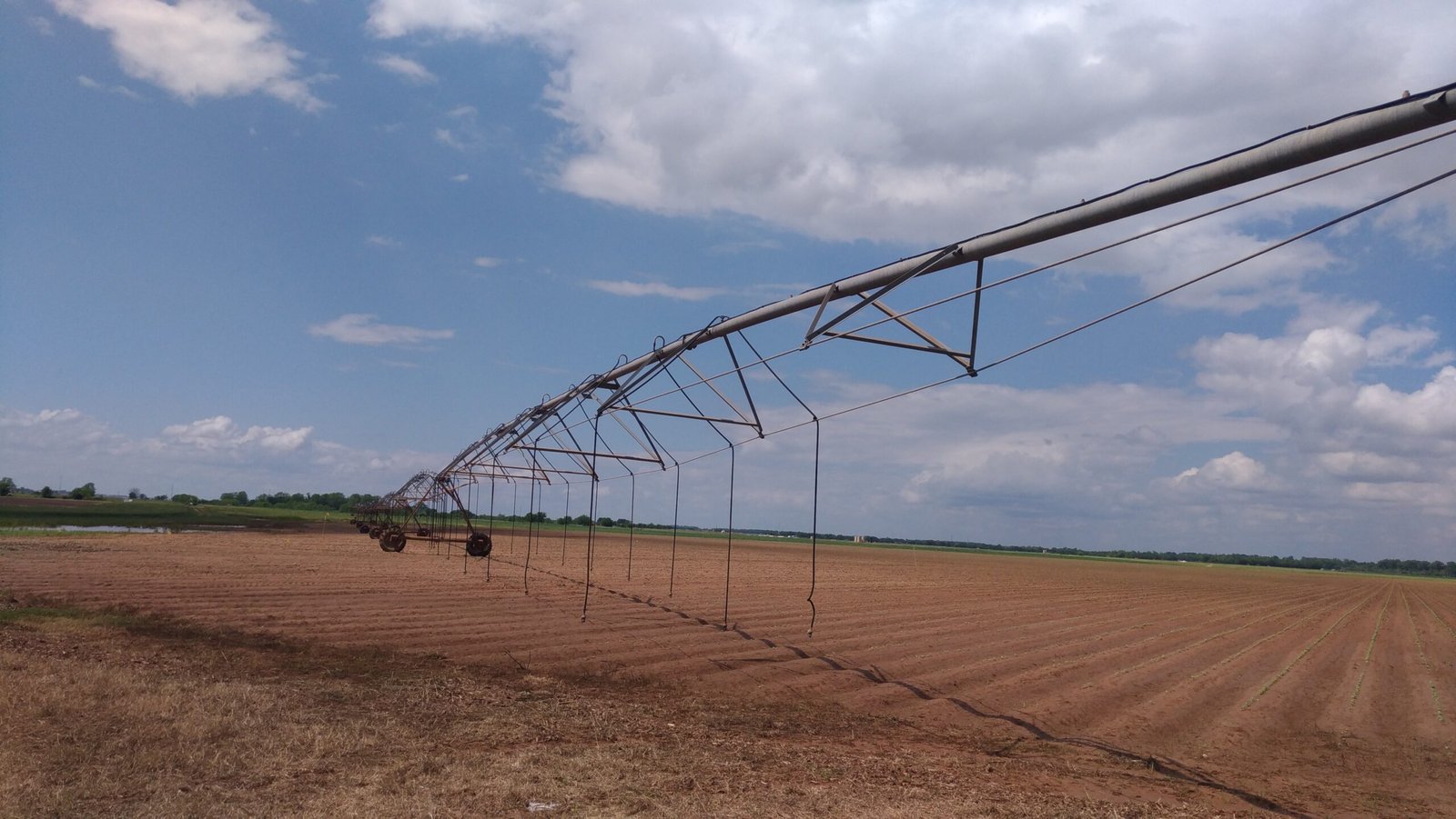
- Smart Agriculture, and drip and sprinkler irrigation technology
- Solar energy system for residential and commercial, microgrid solar power system, refrigerator container for vegetable conservation.
Survey and mapping
- Digital App Survey, polling and data analysis
- Geospatial data analysis
- Aerial imagery data analysis
- Remote sensing application in the agricultural and environmental field, and water resources management.
- Training and capacity building
Project
- Project management
- Monitoring and evaluation
- Audits
Water
Energy
Survey

Geospatial and Aerial mapping
Mapping
A survey app on your smartphone or tablet is one of the most cost-effective survey tools. It offers a geolocalisation information of the respondent’s for the geospatial analysis. The results are very fast to obtain and offer a possibility to monitor the data collection in real-time.
Digital survey
We have an expertise on digital survey to collect extensive data

%