High Resoultion Satellite Data
Capability in IDL programming for satellite and UAV imagery processing
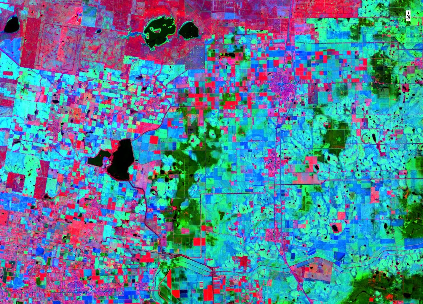
Satellite Composite RGB Color
Spectral Indices
Land surface temperature, spectral vegetation indices, canopy, land cover, radiation, soil heat flux, and cropET
Crop - Satellite Sensing
- Crop actual evapotranspiration
- Irrigation demand
- Radiation
- Canopy
- Soil heat flux
- Leaf area index
- Crop water stress
- Canopy land cover
- Thermal LS
Drone Imagery Deployment
UAV Sensing
Land surveying and crop mapping. Multispectral and thermal imaging


Geospatial Data
Spatial data analysis